Using Satellite Imagery to Make Irrigation Decisions?
Using Satellite Imagery to Make Irrigation Decisions?
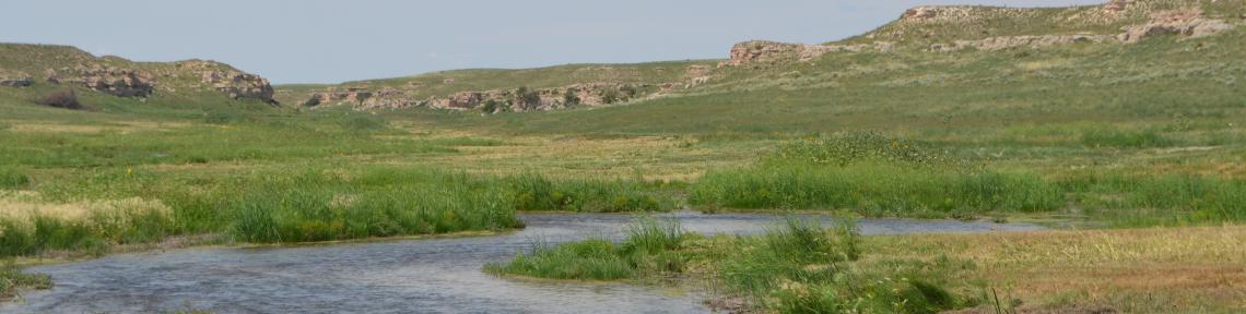
New technology being tested in Nebraska is aimed at reducing water use through the use of satellite imagery that measures moisture content of soils and crops.
