Rock Creek Augmentation Project Water Levels, Usage Trend Positive
Rock Creek Augmentation Project Water Levels, Usage Trend Positive
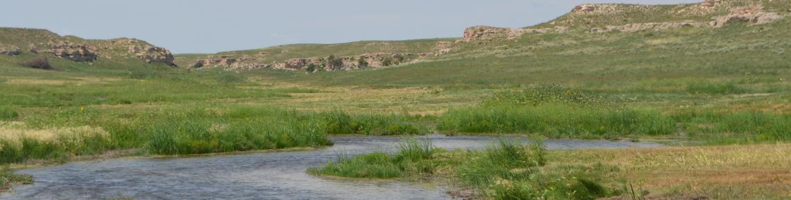
For the 2015-2019 Republican River Compact compliance period, there is approximately a 16,000 acre foot positive balance. Over the last several years, Nebraska has exceeded its Compact allocation by approximately 9,300 acre feet but Kansas has not requested that water because it hasn’t had a use for it. Prior to new, cooperative and beneficial agreements reached with Kansas a few years ago, Nebraska would have had to provided that amount of water to Kansas even the water wasn’t needed by irrigators in the neighboring state. Should it be requested, the URNRD’s remaining portion of the Compact compliance volume is 600 acre feet. The information below is an update on the usage of Rock Creek and its effect on groundwater.
Rock Creek Augmentation v. Retired Rock Creek Irrigation, 2012-2019 (acre feet)
By the end of 2019, about 4,770 less acre feet of groundwater will have been pumped from the Rock Creek Augmentation Project than if the land had remained an irrigated farm. The table below shows augmentation pumping compared to what would have been pumped had it remained an irrigated farm that used 13” annually.
2012 2013 2014 2015 2016 2017 2018 2019 TOTAL
Aug. 0 15,776 20,494 0 0 4,563 0 0 40,833
Farm 5,700 5,700 5,700 5,700 5,700 5,700 5,700 5,700 45,600
Rock Creek Groundwater Levels Compared to Dundy County Average
Cropland at Rock Creek was retired from irrigation in 2012 and the project has been used three times since then, or roughly 40% of the time over that period. History tells us that is approximately the schedule of use that can be expected – action will need to be taken one-third to half the time to maintain compliance with the Republican River Compact.
Following is how the average groundwater level has changed from 2013-2019 at Rock Creek compared to the average groundwater level change of 98 wells measured by URNRD staff across Dundy County during the same time period.
Average groundwater level change at Rock Creek project, 2013-2019: - 2.25 feet
Average groundwater level change across Dundy County, 2013-2019: - 3.99 feet
