KGS report indicates 2021 drained Kansas groundwater levels
KGS report indicates 2021 drained Kansas groundwater levels
By
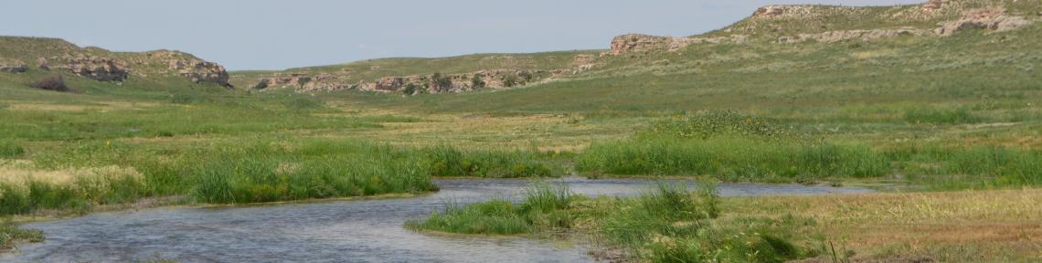
LAWRENCE, Kan. (WIBW) - A new report from the Kansas Geological Survey, based at KU, found that groundwater levels have dropped by over a foot in western and central Kansas.
The University of Kansas says preliminary data gathered by the Kansas Geological Survey indicate average groundwater levels throughout western and central Kansas have fallen by over a foot since 2020, with the biggest declines in the southwest part of the state.
KU said the Kansas Department of Agriculture’s Division of Water Resources measures about 1,400 wells annually to track the health of the High Plains aquifer and other aquifers in western and central Kansas. The measurements indicated an overall average decline of 1.01 feet in 2021. It said most parts of the state saw below-average precipitation, especially during the summer growing season.
“The key takeaway is that 2021 started off very dry and, outside of the month of May, which is the last month most folks in western Kansas saw any measurable precipitation, dry conditions continued right into the summer and fall months,” said Brownie Wilson, KGS water-data manager.
The University said the 2021 decline followed an overall drop of 0.93 feet in 2020, which was another unusually dry year. It said dry years lead to increased pumping demand, mostly for irrigation, which usually causes greater declines in water levels.
“The entire state is currently in some stage of drought and even with recent snowfalls, I bet it remains that way,” Wilson said.
As of Feb. 1, KU said virtually all of the Sunflower State was under some level of drought condition, based on maps published by the University of Nebraska - Lincoln’s National Drought Mitigation Center, the U.S. Department of Agriculture, and the National Oceanic and Atmospheric Administration.
According to KU, southwest Kansas has experienced extreme to exceptional drought, with widespread moderate to severe drought across the rest of western and central Kansas covered by the groundwater monitoring program.
The University said the High Plains aquifer is a network of water-bearing rock that extends through eight states. In Kansas, it said the aquifer consisted of three components - the Ogallala aquifer, the Great Bend Prairie aquifer and the Equus Beds. Of those, it said the Ogallala underlies most of western Kansas and is made up mainly of the Ogallala Formation - a geological unit formed from sediment eroded off the uplifting Rocky Mountains.
KU said the southwest Kansas part of the Ogallala has suffered the greatest groundwater loss since levels started to drop in the 1950s. In the drought years between 2010 and 2014, it said declines averaged about 3 feet per year. Since 2015, it said levels fell less than a foot each year - until 2020 when it saw a decline of 1.2 feet. In 2021, it said it saw a drop of nearly 2.2 feet.
In central Kansas, KU said the Great Bend Prairie aquifer underlies an area made up of Great Bend, Kinsley, Greensburg and Pratt. Farther east, it said the Equus Beds extend from just north of Wichita toward McPherson and Hutchinson. It said this area usually sees more precipitation than the rest of western Kansas. Since this aquifer is relatively close to the land surface and sandy soils are abundant, it said some of this precipitation makes its way into the aquifer. Since 1996, when the state started to administrate the water-level monitoring program, it said water levels in this area have remained relatively stable.
The University said most of the wells in the network monitored by the KGS and DWR are within the boundaries of Kansas’ five Groundwater Management Districts, organized and governed by area landowners and local water users to address water-resource issues.
In Southwest Kansas GMD 3, KU said average groundwater levels dropped 2.17 feet in 2021, the largest drop in the region since 2013 when groundwater levels fell 2.43 feet. It said the region experienced drops of 1.25 feet in 2020 and 0.80 feet in 2019.
According to the University, the region saw below-average precipitation in 2021, with widespread areas only seeing about 50%-75% of long-term averages.
“Much of southwest Kansas came out of the winter months with already below-normal precipitation levels and, outside of one month, that trend continued through the growing season and into the fall and winter months of 2022,” Wilson said.
KU said GMD 2 includes all or part of Grant, Haskell, Gray, Finney, Stanton, Ford, Morton, Stevens, Seward, Hamilton, Kearny and Meade counties. It said most of the wells monitored in the district are drilled into the Ogallala aquifer, except for a few areas where they draw from the deeper Dakota aquifer.
The University said dry conditions were also prevalent in the west-central and northwest parts of the state. It said Western Kansas GMD 1 saw a groundwater-level drop of 0.51 feet in 2021, after falling 0.59 feet in 2020 and 0.14 feet in 2019. It said declines there tend to be small - but steady. GMD 1 includes parts of Wallace, Greeley, Wichita, Scott and Lane counties, where most wells are drilled into the Ogallala.
KU said Northwest Kansas GMD 4 saw a drop of 0.51 feet in groundwater levels - after a decline of 0.70 feet in 2020 and an increase of 0.60 feet in 2019. It said GMD 4 includes Sherman, Thomas, Sheridan and parts of Cheyenne, Rawlins, Decatur, Graham, Wallace, Logan and Gove counties. Groundwater here is pumped from the Ogallala and shallow alluvial sources associated with streams.
In contrast to significant declines seen in western Kansas GMDs, KU said increases and decreases in water levels in Great Bend GMD 5 and Equus Bed GMD 2 in the central part of the state tend to even out over time. It said both districts have localized areas of long-term groundwater declines - but as a whole have remained relatively stable.
KU said Great Bend GMD 5, centered on the Great Bend Prairie aquifer, saw a water-level drop of 0.81 feet in2021, after a decline of 0.69 feet in 2020 and an increase of 1.75 feet in 2019. It said precipitation across the region ranged from average to below average in 2021. GMD 5 includes Stafford and Pratt counties and parts of Barton, Pawnee, Edwards, Kiowa, Reno and Rice counties.
The University said Equus Beds GMD 2 is a major source of water for Wichita, Hutchinson and surrounding areas and saw the smallest decline in 2021 - 0.13 feet - after it saw the largest decrease of 2020 at 1.8 feet. It said precipitation in the region came in at below average for the year. GMD 2 includes parts of Reno, Sedgwick, Harvey and McPherson counties.
KU said KGS measured 586 wells in western Kansas and DWR staff from offices in Stockton, Garden City and Stafford measured 224, 335 and 258 wells respectively. Most of the wells, which are spread out over 48 counties, are used for irrigation and have been measured for decades with the permission of landowners.
The University said measurements are taken mostly in January when water levels are least likely to fluctuate because of seasonal irrigation. It said the measurement results, which are available on the KGS website, are provisional and subject to review based on further analysis.
To view the KGS website, click HERE.
Copyright 2022 WIBW. All rights reserved.
https://www.wibw.com/2022/03/23/kgs-report-indicates-2021-drained-kansas-groundwater-levels/

Add new comment