DNR: Perkins County Canal found feasible, but route study hardly begun
DNR: Perkins County Canal found feasible, but route study hardly begun
Todd von Kampen
North Platte Telegraph – March 28, 2023
Keith County residents shouldn’t read too much from a map in a state-ordered feasibility study showing a possible Perkins County Canal route in Nebraska, according to three state and local natural resources officials.
They addressed aspects of that study in Friday phone interviews with The Telegraph, including recent criticisms of its method by Colorado officials.
The study, ordered by the Legislature and completed by the Zanjero planning firm of Folsom, California, retooled a 1982 exploration for the Twin Platte Natural Resources District of finishing the abandoned 1894 canal through southern Keith County instead of running into its namesake county.
Interest in reviving the canal, allowed under the 1923 South Platte River Compact, suddenly blazed last year when Nebraska officials warned Colorado intends to claim as much of the river’s water for its thirsty Front Range as it can unless Nebraska exercises its right to build.
Zanjero’s full Dec. 29 report to the Nebraska Department of Natural Resources indicates Nebraska can ensure its South Platte water supply through the canal. It also depicts a modified, shorter version of the route studied in 1982 but never finalized.
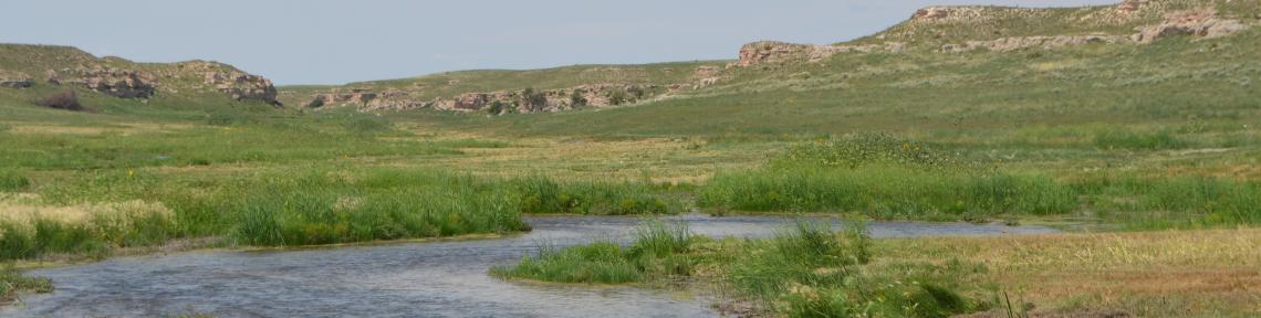
Its 56-mile run through both states assumes two storage reservoirs instead of six — one about 8 miles southwest of Brule, the other about 6½ miles south of Roscoe — and an eastern terminus at Nebraska Public Power District’s Sutherland Canal, southeast of Paxton’s Interstate 80 exit, instead of NPPD’s Lake Maloney south of North Platte.
The reports’ inclusion of maps depicting the route has stirred concern among southern Keith County farmers in the conjectured reservoirs’ path, as expressed in a Lincoln Journal Star story that The Telegraph carried March 19.
But DNR Director Tom Riley and Assistant Director Jesse Bradley said Friday that the state has only just now hired the engineering team that will take about two years to explore all possible routes for the Perkins canal once it crosses the Colorado line.
Zanjero’s map and analysis, they said, arose from the firm’s mandate from the Legislature to determine whether a 2020s version is feasible. The U.S. Bureau of Reclamation’s 41-year-old engineering study for the Twin Platte NRD offered the quickest path forward.
“It looked to the 1982 study — and I probably would have done the same thing — as a surrogate for the (engineering) study to come,” Riley said.
But beyond knowing the canal will run south of the South Platte, “we’re in the early stages of making that analysis and a conceptual drawing of the corridor,” he added. Once such a drawing exists, “we’ll reach out to landowners and be transparent.”
Kent Miller, the North Platte-based NRD’s 50-year general manager, echoed his state DNR peers. It’s far from clear, he said, whether a final route would reach farther into Lincoln County or even cross much of Keith County.
But the three officials said storage reservoirs likely will be needed, because that’s how one can most easily establish the “beneficial use” for irrigation that the compact requires.
“To use it for irrigation in Nebraska, you’re going to have to store it somewhere,” Miller said. “That doesn’t mean there aren’t a lot of alternatives (for how) that will happen.”
Riley and Bradley said the state DNR has hired a consortium led by Omaha’s HDR Inc. to do the engineering study. Initial public fact-gathering meetings in west central Nebraska are expected this fall, they said.
Criticisms, responses
Zanjero’s report, reviewed in summary form Dec. 2 for the Legislature’s Appropriations Committee, was the third exploration in just over a century of reviving the Perkins canal but rerouting it through Keith County.
Pioneer Perkins County residents dug the first 16 miles of a projected 65-mile canal in Sedgwick County, Colorado, before their financing failed in fall 1894. It would have clipped Keith County’s southwest corner and then run through Perkins County to its eastern edge.
Ogallala-area business leaders proposed in late 1921 to route it through southern Keith County, using natural tableland depressions as reservoirs, to a terminus in western Lincoln County.
Colorado and Nebraska then negotiated to share South Platte water, leading to the compact’s signing in Ogallala on April 24, 1923. Both states ratified it, as did Congress in 1926.
Whatever route the canal might follow in Nebraska, the compact says, its Colorado segment must run on or near the planned 1894 route that left the river south of Ovid and meandered east to the state line east of Julesburg.
The abandoned 16 miles ran northwest to southeast through the modern Interstate 76-U.S. Highway 385 exit south of Julesburg. Zanjero’s study envisions using an “inverted siphon” to carry water under the freeway.
The Twin Platte NRD’s 1982 concept stalled over timing of environmental studies and died with an adverse 1986 Nebraska Supreme Court ruling. A competing Upper Republican NRD plan, which would have taken the canal south through Perkins County into Chase County, gained some congressional interest but also died by 1989.
Zanjero’s study says its modified version of the 1982 Twin Platte route would cost about $567 million through 2033 if built to carry 500 cubic feet a second — the maximum Nebraska could divert from the South Platte between Oct. 15 and April 1 — or $628 million if built to carry up to 1,000 cfs in unusual circumstances, such as floods.
The study estimates Nebraska could capture 64,800 to 89,000 acre-feet for the canal in an average year for moisture. The lower figure assumes just half of the South Platte’s historic flow from upstream would be available to the river’s Colorado “Lower Section,” which the compact splits from the “Upper Section” at the Washington-Logan county line east of Brush.
Water deliveries could be as low as 33,000 acre-feet under with below-average moisture and higher Upper Section water development. But it could be as high as 209,600 acre-feet in an above-average moisture year with current river flows, Zanjero said.
Colorado State Engineer Kevin Rein, director of that state’s Division of Water Resources, questioned several of Zanjero’s assumptions in a March 2 letter to Riley.
It reminds Nebraska that the 1923 compact gives Colorado unlimited rights to Upper Section water, including the Denver area and Front Range.
“By failing to consider further development in the Upper Section, the report overstates the future flows entering the Lower Section of the river and, therefore, the yield of the canal,” Rein wrote.
Among other criticisms, Rein’s letter also contends that Zanjero didn’t address volumes of and legal access to “accretion” return flows on which Lower Section river users depend.
The compact grants Nebraska a water right — should it build the Perkins canal — of Dec. 17, 1921. Lower Section users with rights before that date are protected, and the compact lets Colorado access 35,000 acre-feet a year in the Lower Section beyond that.
Bradley said Zanjero “chose to be very conservative” in estimating how much water Nebraska could expect.
He, Riley and Miller stressed that Colorado’s entire system of South Platte water use depends on “return flows,” including diverted water that percolates down into the Ogallala Aquifer and later returns to the surface.
Upstream diversions have reduced the river’s flow to zero at the compact dividing line, Bradley said, but the river gage at Julesburg recorded 300 cfs recently, despite the Plains’ ongoing drought.
That shows the return flows needed for the Perkins canal to make sense — even from water first diverted in the Upper Division — are still reaching the Lower Division in winter, he said.
“We want them to keep diverting that water into the aquifer and create those return flows in future years,” Riley said.
He and Bradley said the Zanjero study shows it’s not yet too late to make sure Nebraska’s rightful share of South Platte water keeps reaching the state. But time is running out, Riley said.
“The (water) benefits we get are the benefits we already enjoy,” he said. “If we delay any longer, those benefits will go away.”
