NRD PROVIDES TOOL FOR ACCURATE WATER USE ON CROPS
NRD PROVIDES TOOL FOR ACCURATE WATER USE ON CROPS
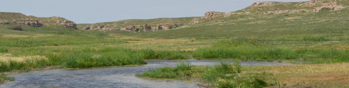
With irrigation season in full swing, it’s important having all the tools and information available to help determine how much water is needed to keep crops going and conserve water as area producers roll into the new 2023-2027 allocation period.
The Upper Republican NRD has one full-featured weather station in each county that provides estimates of evapotranspiration, which is the combination of water evaporation from the soil and plant transpiration from crops.
By knowing how much water is leaving their fields, the estimates can help guide farmers’ irrigation decisions.
The data is available for the public on the URNRD website: www.urnrd.org.
Located near the bottom of the homepage, there is a button labeled “Weather, Real-time Rain Amounts, ET and Water Levels” that will bring up a page where that data can be found.
The ET site contains daily ET for all growth stages of corn, potato, soybeans, dry beans, wheat and alfalfa.
Users do not have to select a crop emergence date and the stage isn’t estimated based on growing degree days. Instead, producers simply pick the stage their crop is at and view the estimated ET. There is also a link for a three-day summary for corn.
Weather data from the three stations are under the “District Weather Stations” tab. The stations are located one mile west of Imperial, 18 miles northwest of Benkelman and six miles northeast of Grant.
To see the exact locations of the three weather stations and 10 standalone precipitation stations on a satellite map, click on one of the links and then click the Earth with a magnifying glass in the upper right corner of the page.
Once you select a weather station, you will be able to see all the data that is used to create ET estimates: temperature, precipitation, solar radiation (watts per square meter), relative humidity and wind speed.
However, to see actual ET estimates, users must go back to the “Evapotranspiration, Rain and Groundwater Levels” page on the URNRD website and click the “Evapotranspiration” tab.
Precipitation data is also available from 10 NRD-operated sites spread across our three counties on the URNRD page, as well as precipitation from stations overseen by Ted Tietjen of Grant and the Nebraska Water Balance Alliance in the HUC12 Watershed of Perkins County.
Also available on that page are real-time groundwater level measurements from 12 monitoring wells in the district.
Contact the NRD office in Imperial at 888-883-9066 with questions about the information or suggestions on how it should be displayed.
https://www.imperialrepublican.com/news-local-ag-business/nrd-provides-tool-accurate-water-use-crops
